
 44.0°,
Mostly Cloudy
44.0°,
Mostly Cloudy Powerful winter storm slams Nassau with blizzard-like conditions; school districts cancel classes
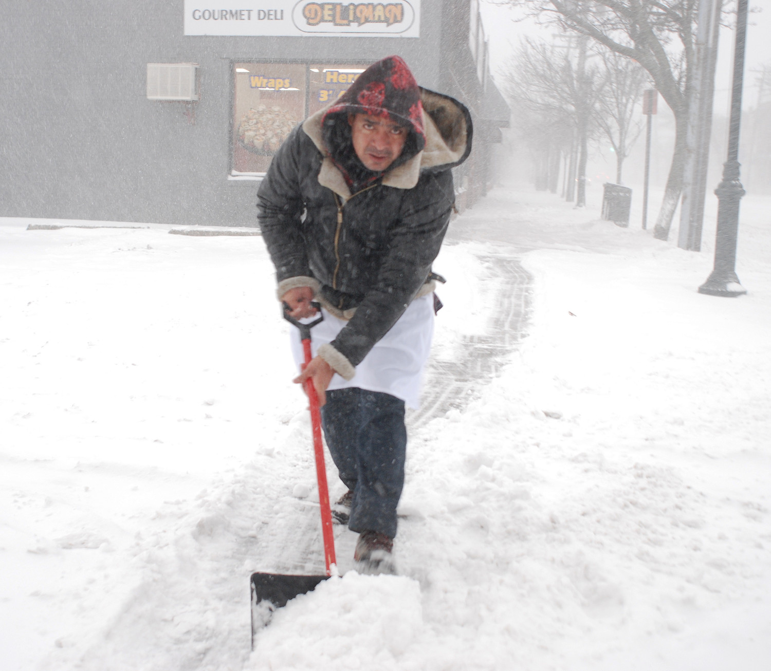
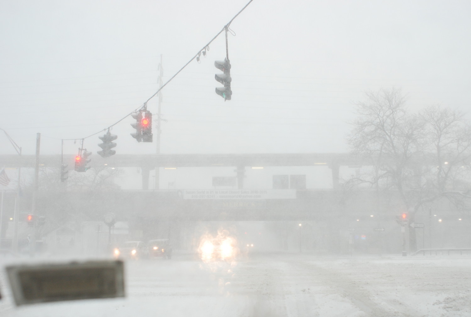
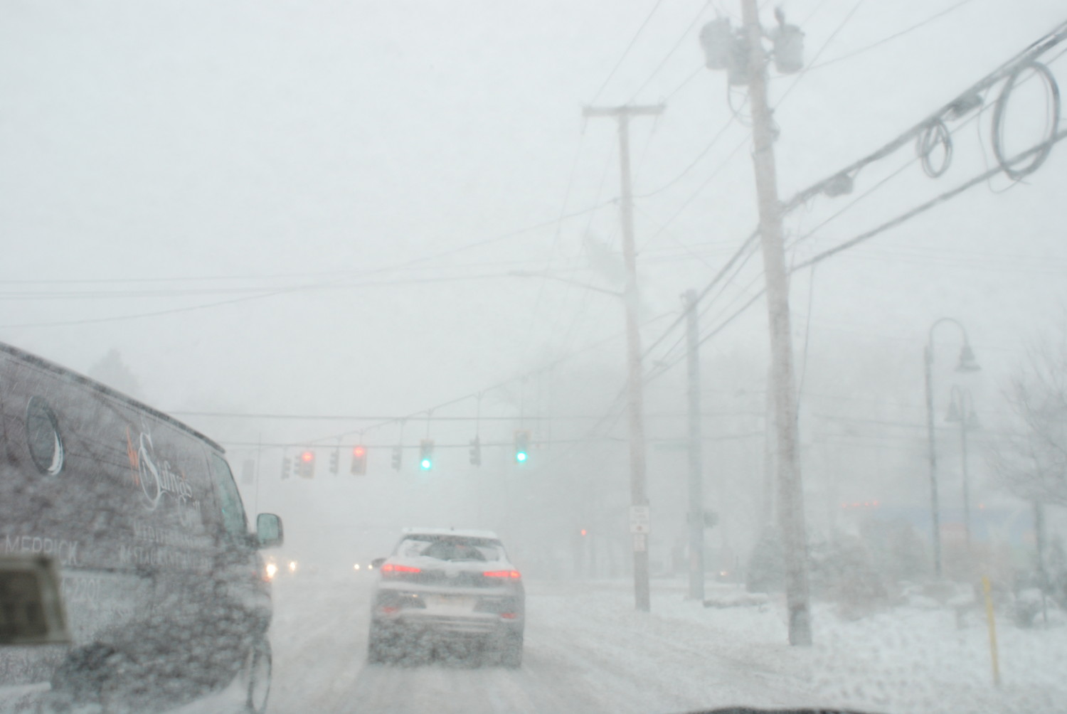
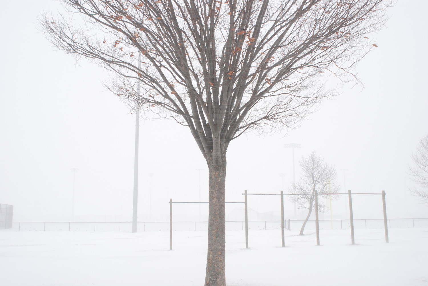
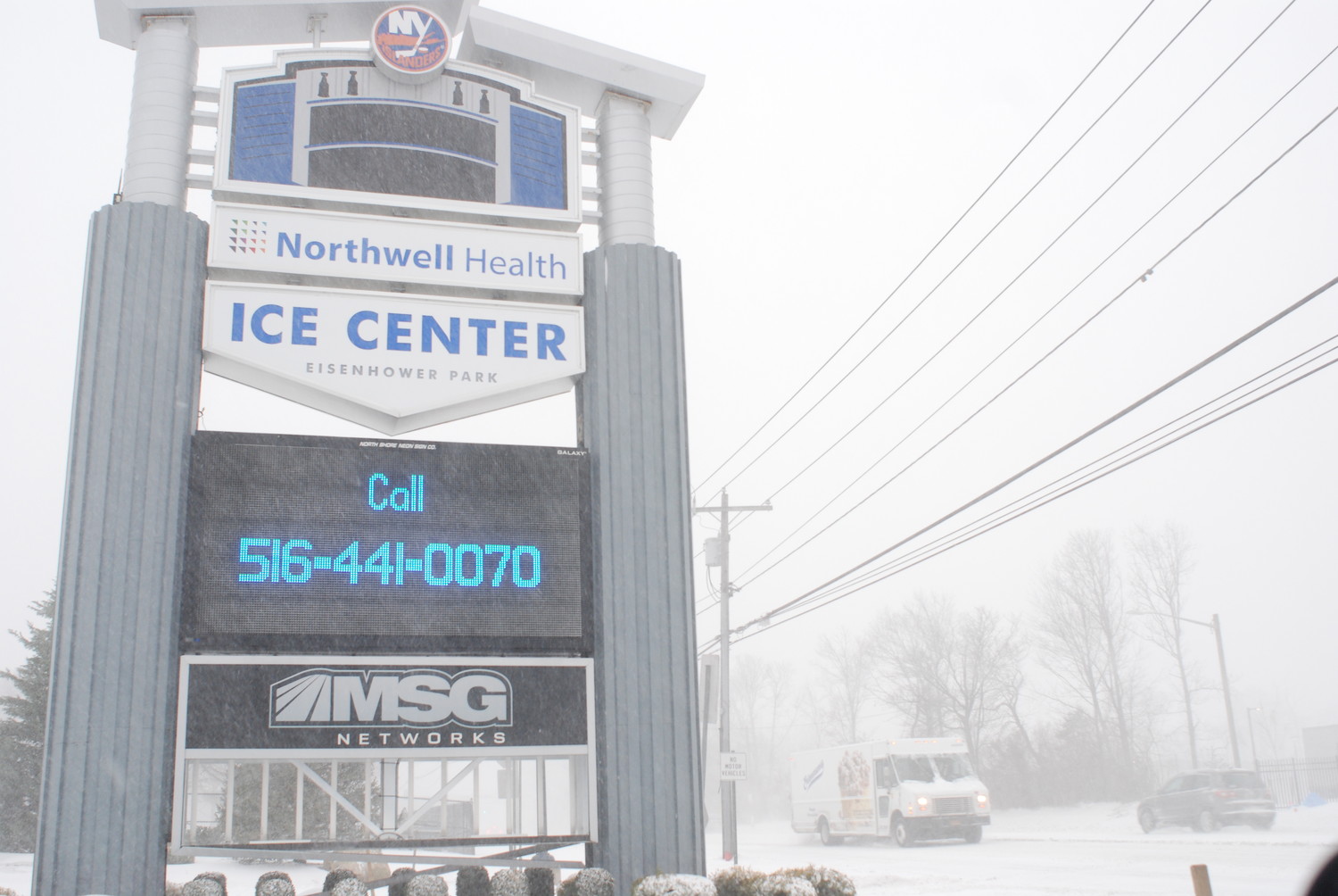
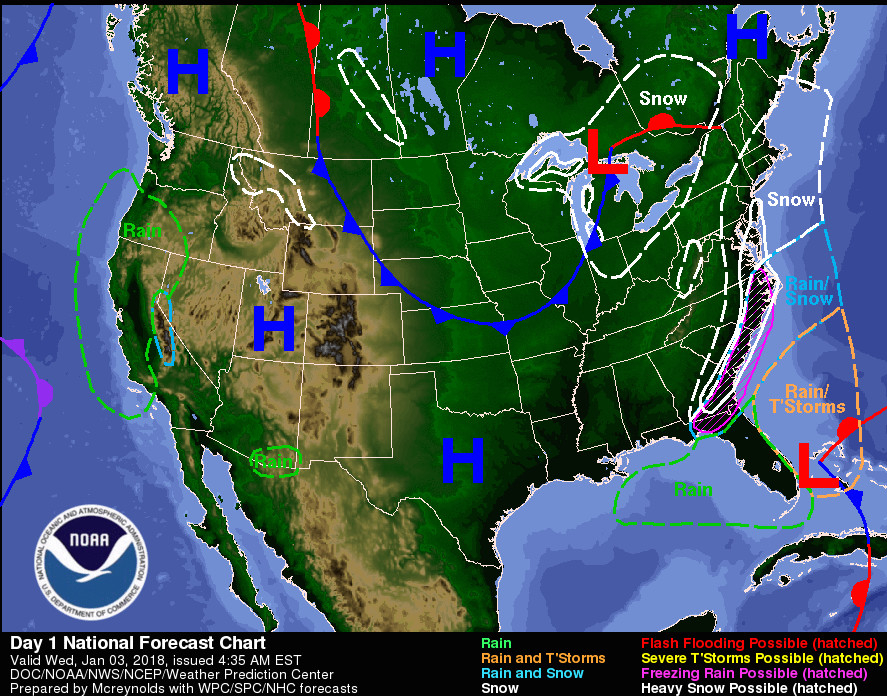
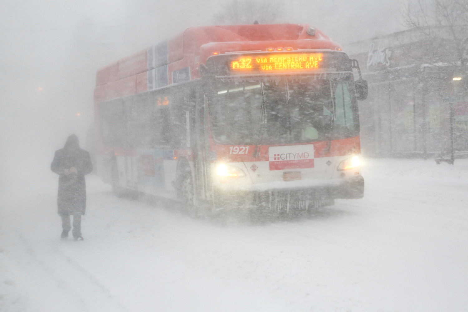
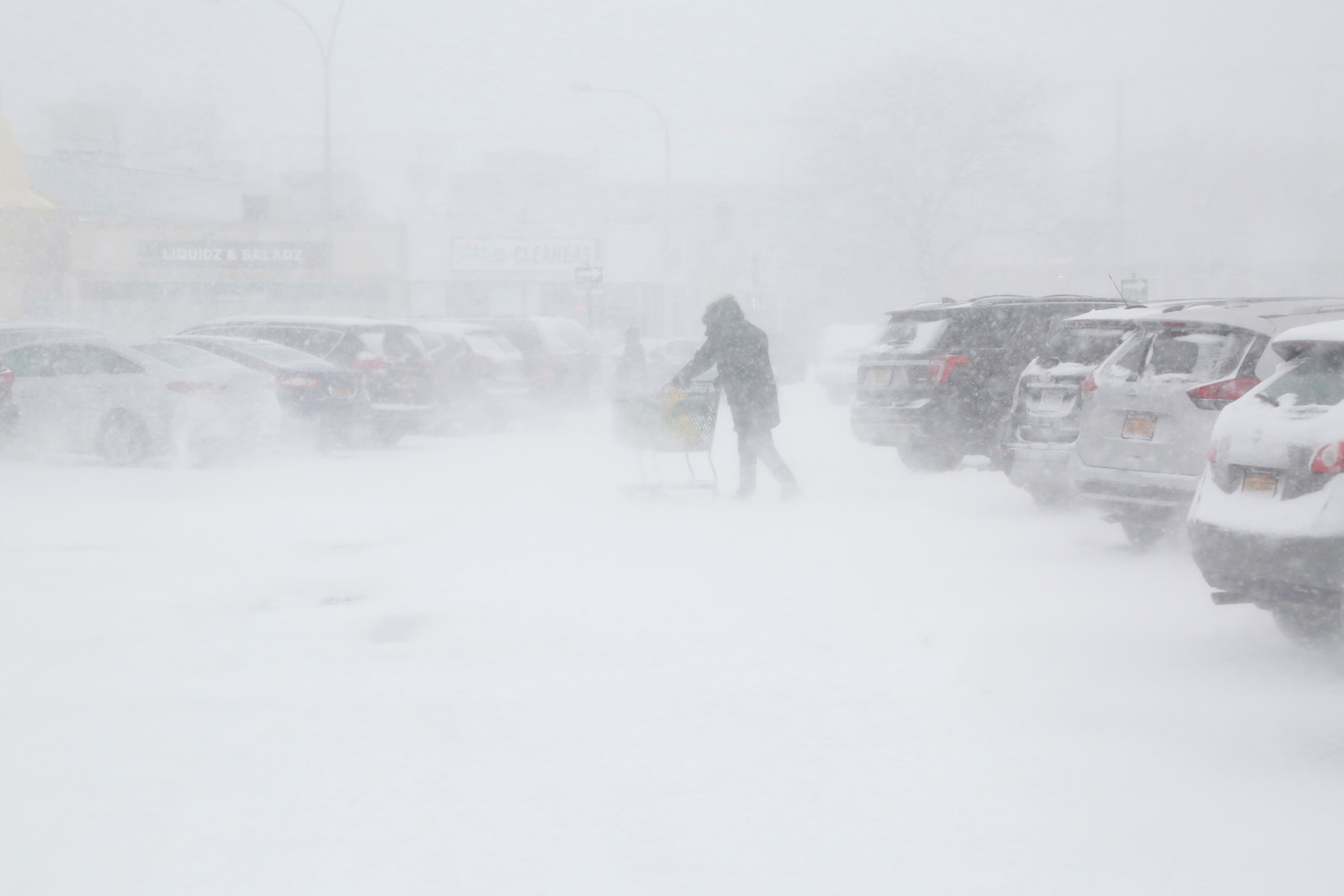
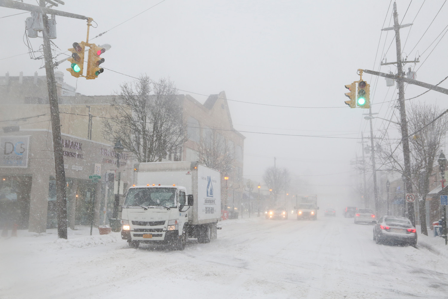
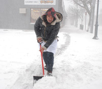
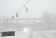
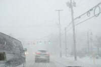
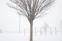

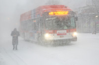
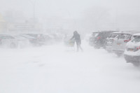
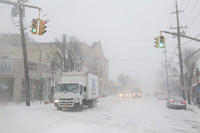
Updated: Noon Thursday: As predicted, a powerful winter storm rolled into the greater metropolitan area after midnight on Thursday morning, bringing with it snow, frigid temperatures and heavy winds.
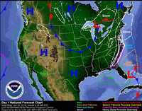
The National Weather Service issued a Blizzard Warning and a Coastal Flood Advisory for Nassau County on Thursday morning. It is expected to last through Friday morning.
Most parts of Nassau County are predicted to receive up to eight inches of snow when all is said and done, with localized totals as high as 10 inches, while Suffolk could see up to 14 inches of snow, according to the National Weather Service.
Weather forecasters had warned that the storm system could shift off its current track. If it were to have veered farther east, into the Atlantic, snow totals would have been smaller. It, however, stayed farther to the west, bringing greater snow amounts across Long Island.
Nassau County school districts began canceling classes Wednesday night for Thursday. According to their websites, districts that had canceled school as of 6 a.m. Thursday included:
• Baldwin
• Bellmore
• Bellmore-Merrick
• East Meadow
• East Rockaway
* Franklin Square
• Freeport
* Glen Cove
• Hewlett-Woodmere
• Lawrence
• Long Beach
• Lynbrook
• Malverne
• Merrick
• North Bellmore
• North Merrick
• North Shore
• Oceanside
• Oyster Bay-East Norwich
• Rockville Centre
• Seaford
• All Valley Stream districts
• Wantagh
Hofstra University canceled classes as well. Additional cancelations were expected.
The extreme cold will be worrisome on Thursday, according to the NWS. The temperature could drop to as low as 10 degrees Fahrenheit, and as low as -5 degrees, later in the day, with the wind chill factored in. Winds could gust to as high as 40 to 50 miles per hour.
More as this story develops.


