
 49.0°,
Fair
49.0°,
Fair Sandy brings flooding to south Merrick, south Bellmore before it strikes New Jersey
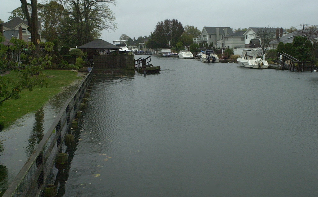
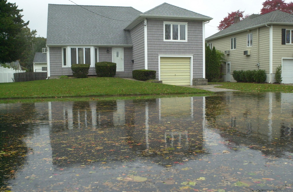
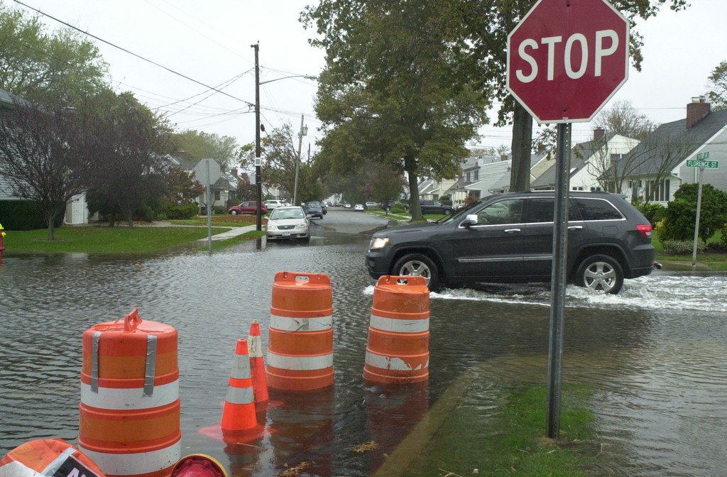


The morning high tide brought flooding to low-lying streets in south Merrick and south Bellmore on Monday between 8 and 9 a.m. when a heavy tidal surge forced water through storm drains and onto roads. The tide was expected to reach its peak in the area at 9:28 a.m. before starting to recede at 9:50 a.m.
In many parts, floodwaters reached onto driveways, threatening homes, and forecasters from the National Weather Service warned that Monday night’s high tide, expected to peak around the time that Hurricane Sandy makes landfall in New Jersey during a full moon late this evening, could bring widespread flooding.
"We're bracing ourselves for what I believe will be called the storm of the century," said south Merrick resident Gary Small. "We did everything we could and now just have to wait for it to pass. So far it's windy as all hell, and the streets around us are starting to flood from overflowing canals. Hewlett Avenue, south of Merrick Road, is getting flooded."
Jeff Gold, an attorney from south Bellmore with an office on Merrick Road in Bellmore, said the weather did not deter him from getting into work today. "That's the advantage of hiring local attorneys and staff," Gold said. "I'm more concerned about flooding tonight."
Hurricane Sandy continued its long 15-mile-per-hour march up the East Coast on Monday morning, starting to turn to the left and aiming for the Delaware-New Jersey shoreline, as predicted, according to the National Hurricane Center in Miami, Fla.
At 5 a.m. on Oct. 29, this “superstorm” was intensifying, increasing the certainty that it will bring hurricane-force wind gusts up to 85 mph, drenching rain and heavy tidal surges from Maryland-Delaware to Long Island and beyond. In its 5 a.m. briefing, the National Hurricane Center predicted that there was an 80 percent chance the South Shore could see tropical storm-force winds in the coming days, and there was a 50 to 70 percent chance that we could see a tidal surge of at least four feet (for tidal surge explanation, see related story, “Latest from hurricane center: 10 to 20% chance Merrick-Bellmore will be hit by 8-foot surge”).


