
 48.0°,
Overcast
48.0°,
Overcast A slushy day in Wantagh-Seaford
Town, fire department leaders urge people to stay home while freezing rain, snow fall
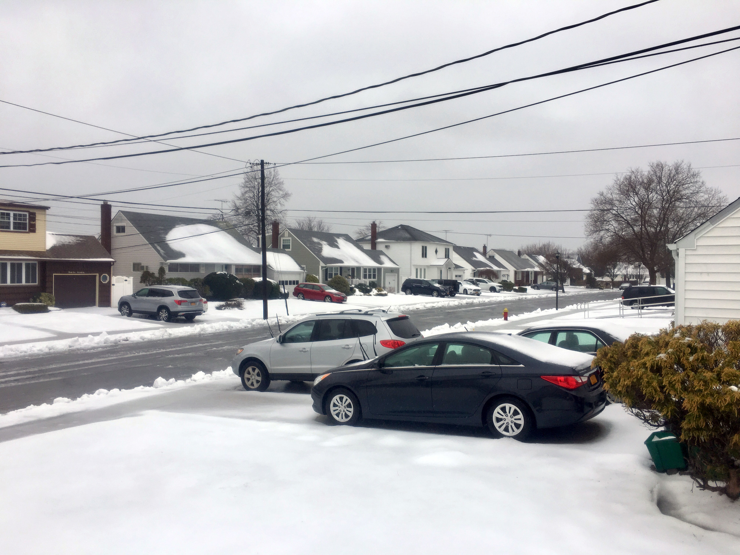
A messy nor'easter swept across Wantagh and Seaford early Tuesday morning, bringing with it a mix of snow, sleet and rain.
National Weather Service forecasters had predicted 12 to 18 inches of snow and high winds for Nassau County. In advance of the storm, officials at the Wantagh, Seaford and Levittown school districts cancelled classes and extracurricular activities.
On Tuesday, the prognosticators were calling for less than six inches of snow in Wantagh and Seaford.Freezing rain and sleet will continue to fall until 8 p.m. Winds were expected gust as high as 48 miles per hour on Tuesday, blowing snow and slush across local streets.
Road conditions were slippery and dangerous. Public information officers for the Wantagh and Seaford fire departments, who shared updated forecasts on their respective Facebook pages, urged people urged people to stay home.
Kevin Regan, Wantagh's public information officer, said that residents should avoid driving today. Because winds may knock down power lines, he said that everyone should have their cell phones and flashlights charged and/or extra batteries ready.
“If you have elderly neighbors, please check on them often and assist whenever possible," Regan added. The Wantagh Fire Department serves all of Wantagh and Seaford Harbor.
Mario Angieri, a 25-year-old Wantagh resident, said that he was waiting until after the rain and snow stopped falling to go outside and shovel. In light of the forecast change, he said that he hopes that slush will simply wash away.
“I picked up gas, prepped the snow blower, got the salt and the shovels ready yesterday, but now they are just predicting rain," Angieri explained. “The storm was a let down."
Government officials, including Town of Hempstead Supervisor Anthony Santino, said they were concerned that lower-than-predicted snow totals might give people a false sense of security that roads are drivable. They aren't, Santino said, so people should stay put as road crews clear streets and apply salt to de-ice them.
On Monday, Santino went to Point Lookout to urge residents to prepare for the storm, saying they could expect heavy winds and coastal flooding, particularly in low-lying areas. That part of the prediction did not change on Tuesday.
“This is going to be a very involved snowstorm," the supervisor noted on Monday. "This is going to be a treacherous commute tomorrow morning. We will be working all day ... to clear our streets, but it is likely that the evening commute isn’t going to be any better than the morning commute.”
A coastal flood warning remained in effect through 2 p.m. Tuesday, and moderate coastal flooding was expected during periods of high tide into Tuesday afternoon.
“I don’t think we’re looking at a situation where people have to evacuate,” Santino said. “If you have a car in a low-lying area, try to find a friend or a neighbor who lives up somewhere on higher ground and get the car there. If you have a storm drain, shovel it while it snows to make sure that the water drains appropriately.”
He added that the town had 50,000 tons of rock salt on hand and that crews were out in force since Sunday preparing roads throughout the town with snow-melting brine, and that more than 400 workers were ready to respond with about 300 pieces of equipment.
“Our crews will be out there plowing … to clear the over 1,200 miles of roadway that are in the Town of Hempstead … to make them possible as soon as we possibly can,” he said. “Our Conservation and Waterways crews will be monitoring the coastal erosion.”
Santino advised residents with health conditions to avoid shoveling snow and call 911 in an emergency.
The Long Island Rail Road warned that it might be forced to suspend service if conditions worsened. Special trains were spraying de-icer on the third rail, which energizes the trains. On its Twitter feed, the LIRR was reporting 15- to 20-minute delays on various branches in the early morning. Check the LIRR website for updates.
Thousands of flights at the region's airports were also delayed.
PSEG Long Island was reporting scattered outages in Hicksville, Bay Shore and Shirley at press time at 11 a.m.
“PSEG Long Island takes storms of this forecasted magnitude seriously, and we proactively prepare and position our restoration workforce so our crews can begin work as soon as the conditions are safe,” said John O’Connell, PSEG-LI's vice president of transmission and distribution. “In addition to scheduling additional PSEG Long Island personnel and contractors to respond to outages, we have arranged for utility crews from other states to provide assistance in restoring customer outages that may result from the storm.”
PSEG-LI offered this advice to homeowners:
* Save PSEG Long Island’s 24-hour Electric Service number: (800) 490-0075.
* Follow PSEG Long Island on Facebook and Twitter for updates before, during and after the storm. Remember, though, that outages cannot be reported through Facebook.
* Downed wires should always be considered live. Do not approach or drive over a downed line and do not touch anything it might be in contact with. If a wire falls on or near your car, stay inside the car, call 911 and do not get out until PSEG Long Island de-energizes the line. If you must get out of the vehicle because it is on fire, jump as far as possible away from the vehicle, with both feet landing on the ground at the same time, and hop or shuffle away.
* Make sure everyone in the family is prepared and knows what to do if there is an emergency. Visit psegliny.com/page.cfm/Home/Safety to learn about safety tips from Sesame Street and YouTube videos.
Rebecca Anderson contributed to this story.


