
Congress to FEMA: Draw new flood maps


In what could be a major victory for thousands of Valley Stream homeowners, Congress is ordering the Federal Emergency Management Agency to redraw the flood maps it enacted in 2009.
The new maps must take into account “local data,” according to legislation that was passed June 29 by the House of Representatives and Senate. The bill is largely based on the Flood Insurance Reform Act of 2011 that was passed by the House, and also includes provisions from a separate Senate bill introduced last year.
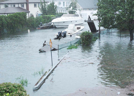
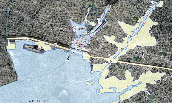
The maps that went into effect in 2009 placed thousands of Valley Stream homes, particularly in the Gibson and Mill Brook neighborhoods, in the high-risk flood zone. Residents with federally backed mortgages were required to buy flood insurance, with premiums nearing $2,000 per year.
Sen. Charles Schumer, who has twice visited Valley Stream calling for flood-map reform, said the legislation is a win for homeowners who have been “crushed by flood insurance costs.”
“FEMA will now be required to use locally obtained data from Valley Stream and local Nassau County communities that better reflect the realities on the ground,” Schumer said. “We’ve said all along FEMA needs to do better. This bill will require them to do so.”
Carol Crupi, a Gibson resident and president of the Valley Stream Community Association, said she is cautiously optimistic about the legislation. “The good thing that comes out of this is the maps are being redone,” she said. “We’ll see what happens. At least something’s happening.”
New maps won’t guarantee that any areas of Valley Stream would be removed from the flood zone, but the maps would be based on community-specific data. That could include elevation data for specific neighborhoods as well as historical flooding records. A study of Jamaica Bay, which is being undertaken to map the flood zones for Queens and Brooklyn, could also be factored in.


