
Valley Stream flood map timeline


July 2008
The Federal Emergency Management Agency releases redrawn flood plain maps for Nassau County, adding about 30,000 homes, including more than 3,000 in the Valley Stream area, to the high-risk flood zone. Most homes added to the flood zone are south of Sunrise Highway. The maps are to take effect in 14 months.
March 26, 2009
FEMA representatives discuss the flood map changes, insurance requirements and rates at a Mill Brook Civic Association meeting at Forest Road School. Mill Brook, a community of 811 homes in South Valley Stream, would be added to the high-risk flood zone.
Sept. 11, 2009
The new flood maps go into effect, putting much of Valley Stream into the high-risk flood zone. Gibson and South Valley Stream are the most affected areas. Residents holding mortgages are required to purchase flood insurance.
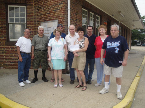
June 6, 2010
A group of Gibson residents gather at the Gibson train station to discuss their concerns about the flood maps. Residents plan to circulate a petition.


