
Malverne, West Hempstead hit with massive nor'easter
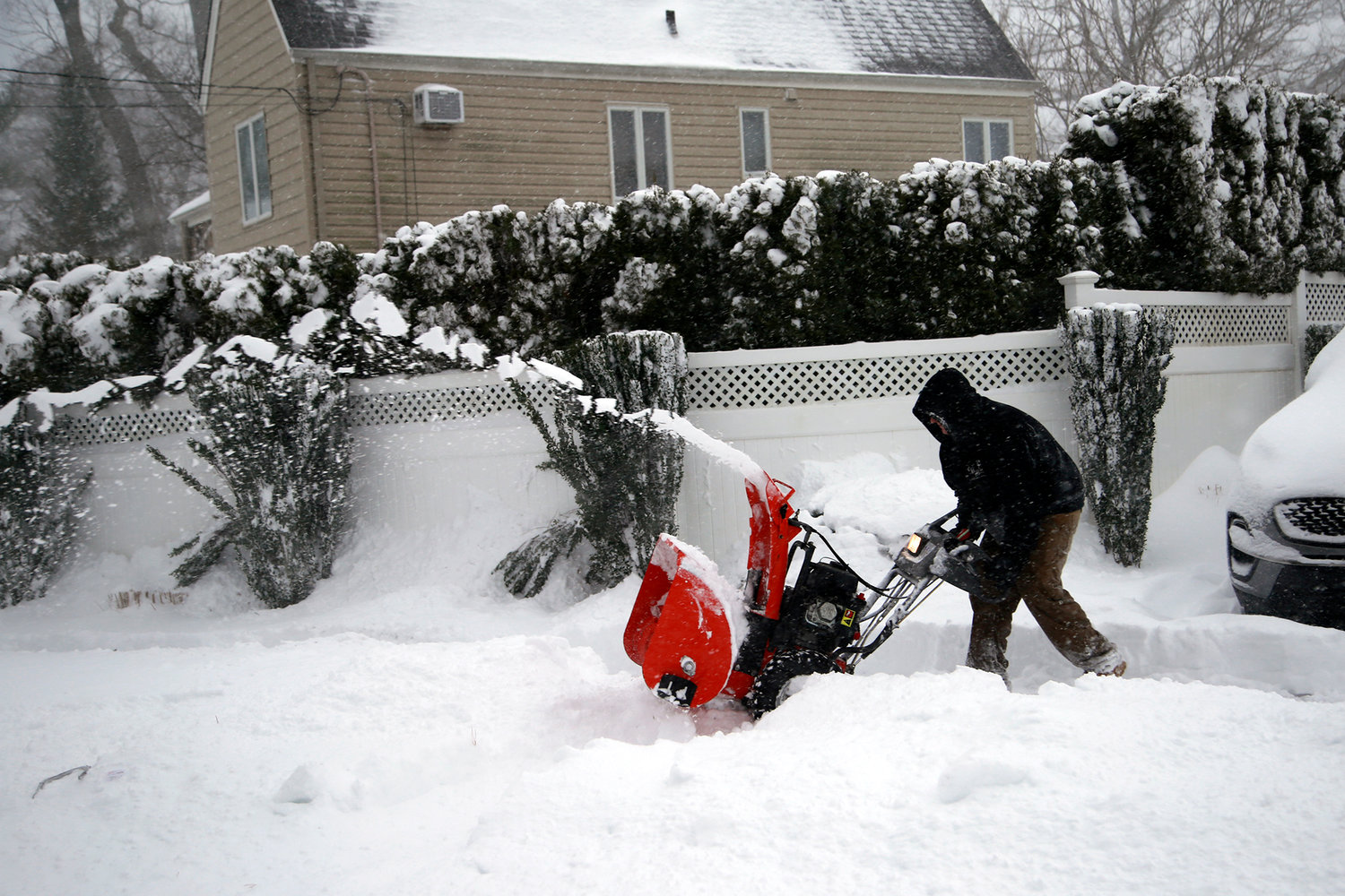

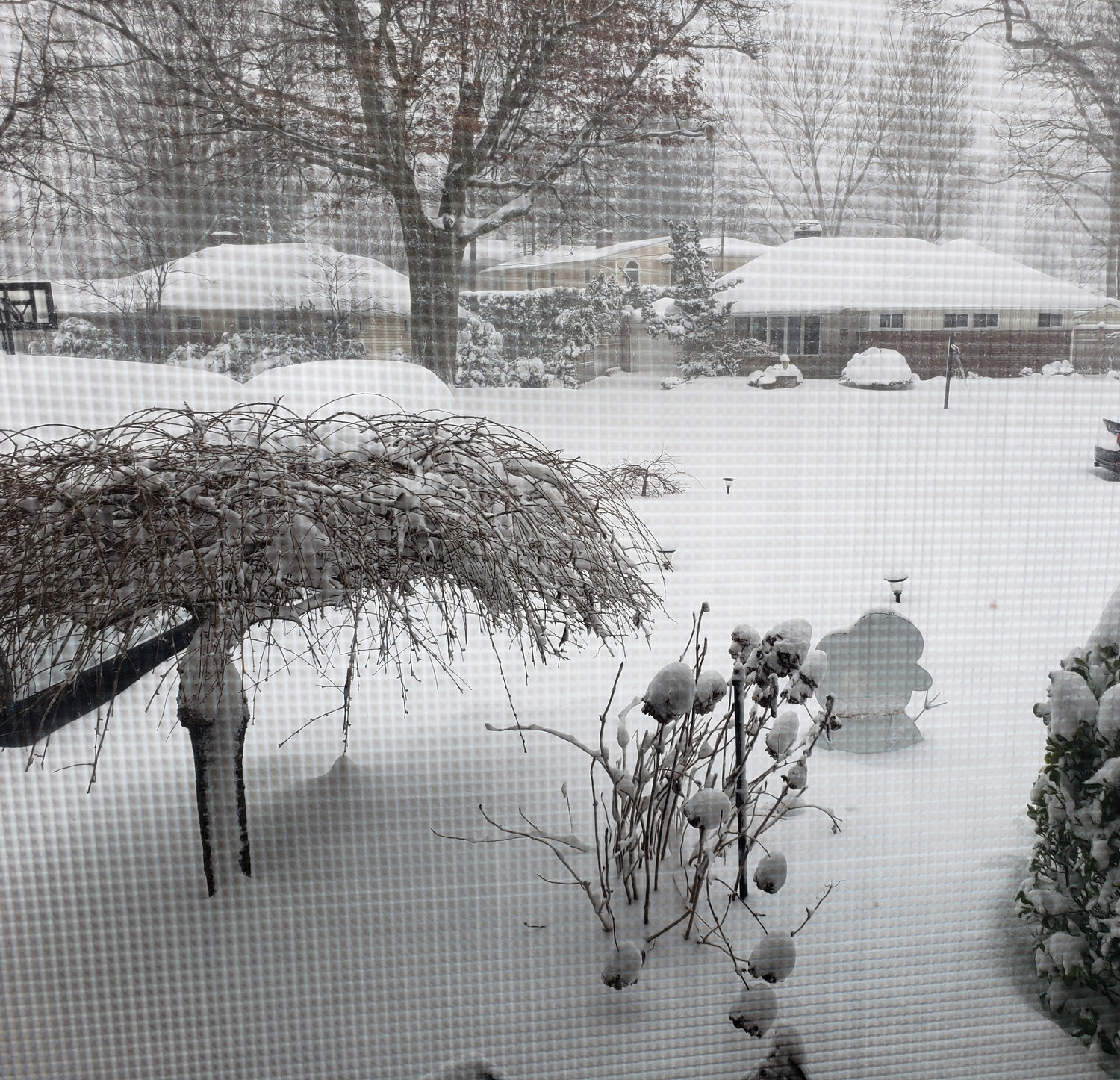

UPDATED, 12:35 p.m. Monday: A massive nor'easter out of the west swept across Long Island early Monday, and prognosticators say it could drop up to a foot or more of snow across the area by Tuesday, with wind gusts expected to reach 30 to perhaps as high as 60 miles per hour.
Malverne and West Hempstead was among the communities to be hit with plenty of snow so far. Both the Malverne and West Hempstead school districts had closed ahead on the snowstorm on Sunday.
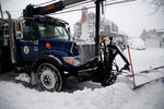
Nassau County and town officials urged people to stay off the roads during the storm if they could. Road conditions were already "treacherous" by Monday morning, and snowfall has persisted through the early afternoon.
"Wind is going to play a signifcant role in this storm," said County Executive Laura Curran during a news conference Sunday. "We're talking about blizzard-like conditions .... It's going to be heavy, wet snow with a lot of wind."
The biggest snow fall will come between 10 a.m. and 11 p.m. Monday. The South Shore is expected to be "most vulnerable," the county executive said.
"As the day goes on, conditions are going to get more dangerous for driving," Curran said.
Two to five inches were expected to fall by the time of the morning commute at 9 a.m., and snow was expected to accumulate throughout the day after that.
Two to five inches were expected to fall by the time of the morning commute at 9 a.m., and snow was expected to accumulate throughout the day after that.
For your hyperlocal forecast by zip code, see the National Weather Service here.
Power outages were expected. To report one, go to PSEGliny.com.
Expect delays and service disruptions on the Long Island Rail Road and NICE Bus.
For more on NICE Bus, go to nicebus.com.
For more on the LIRR, go to mta.info.


