
 50.0°,
Overcast
50.0°,
Overcast Coastal flood advisory in effect through 1 p.m., for Nassau County's South Shore
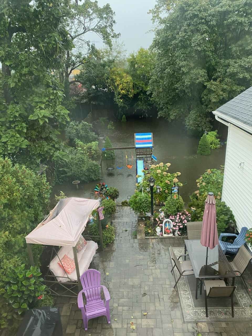
After Friday's torrential storm which prompted Gov. Kathy Hochul to declare a state of emergency for several counties and brought up to 7 inches of rain to Long Island, the National Weather Service has a coastal flood advisory in effect on Saturday through 1 p.m., for the South Shore of Nassau County.
What the NWS calls "minir flooding" is expected near the waterfront and shoreline. Low lying properties such as hopmes and businesses with basement, lawns, parks and parking lots near the waterfront will experience flooding. Beach erosion is expected to occur as well.
Valley Stream received more than 7.5 inches of rain, East Rockaway just under 6.4, Hewlett nearly 6.3, Freeport 4.6, Wantagh nearly 4.3, Glen Head just under 4,2, Oyster Bay nearly 2.8, Merrick 5.12 and Bellmore had 6.12.
Hochul, Nassau County Executive Bruce Blakeman, Town of Hempstead Supervisor Don Clavin urged everyone that if they didn't need to go out to shelter in place.
The roughest part of the storm did hit while many people were heading to work or school. Travel home in some cases took nearly the usual time.
Flood conditions were seen on many roads from the Southern State Parkway, the Cross Island Parkway and Belt Parkway interchange. The state transportation department was on site.
The NWS NY’s twitter page noted to never drive through flooded roads and to “Turn Around Don’t Drown.” They also mentioned that 6 inches of fast-moving water can knock over and carry away an adult and 12 inches of fast-moving water can carry away a small car.
The NWS forecasted 3-5 inches of rain with localized amounts greater than 5-7 inches. Rainfall rates reached an inch to two inches per hour. With the ground already saturated from last weekend’s rain event, there was an increased threat of flash flooding across the area.
The Metropolitan Transit Authority reported system-wide disruptions because of the heavy rainfall.


