
Flash Flood Watch continues for Nassau as Henri's heavy rains continue Monday

Updated: 8:15 a.m., Aug. 23: A Flash Flood Watch emained in effect for Nassau County as the remnants of Tropical Storm Henri boomeranged back to Long Island after moving off to the west overnight. The National Weather Service was predicting pockets of heavy rain throughout the day Monday.
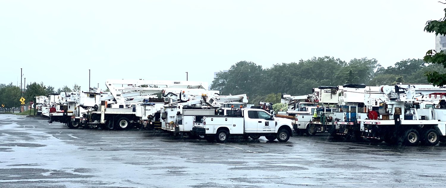
The Red Cross opened an emergency shelter at Nassau Community College for those who might need it over the weekend. At midday Sunday, PSEG Long Island was reporting a little more than 1,700 outages island-wide, scattered in small clusters across Nassau and Suffolk counties. By 5:30, that number was down to 548 outages and declining. The company was reporting 99.95 percent system reliability.
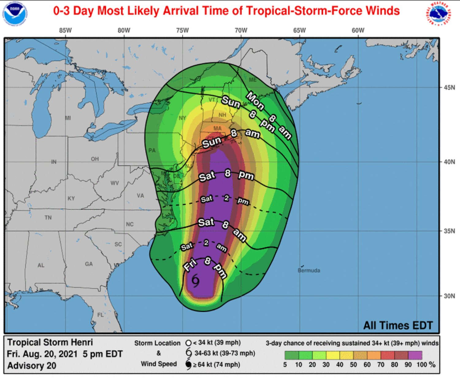
The NWS downgraded Henri to a tropical storm from a Category 1 hurricane when its wind speed dropped from an average of 75 to 70 mph. That happened right at 7 a.m. Sunday.
As of that hour, Henri was circulating in the Atlantic Ocean 50 miles southeast of Southampton. That put the storm significantly farther east than predicted on Saturday, when forecasters estimated the storm's track would run straight through the center of the island, in the Islip area. Henri's track, coupled with its reduction to a tropical storm, reduced its impacts for Nassau County.
The NWS warned that Henri remained a major storm that could bring on-again, off-again downpours Sunday. The storm surge was two to four feet above normal tidal levels on the South Shore and higher on the North Shore. The surf was rough and was expected to continue to be so on Monday.
Beaches were closed Sunday, and all were advised to stay out of the water.
Town of Hempstead officials began "battening down the hatches" at its South Shore marinas early Friday morning, Supervisor Don Clavin said.
"With the storm comes the danger of strengthened riptides and large waves," a town release stated.


