
 45.0°,
Partly Cloudy
45.0°,
Partly Cloudy Valley Stream’s forgotten flood zone


When most of Valley Stream’s south side was added to the Federal Emergency Management Agency’s high-risk flood zone in 2009, it sparked much outrage. But even before that change, there were areas of the village already at risk for flooding, at least according to FEMA.
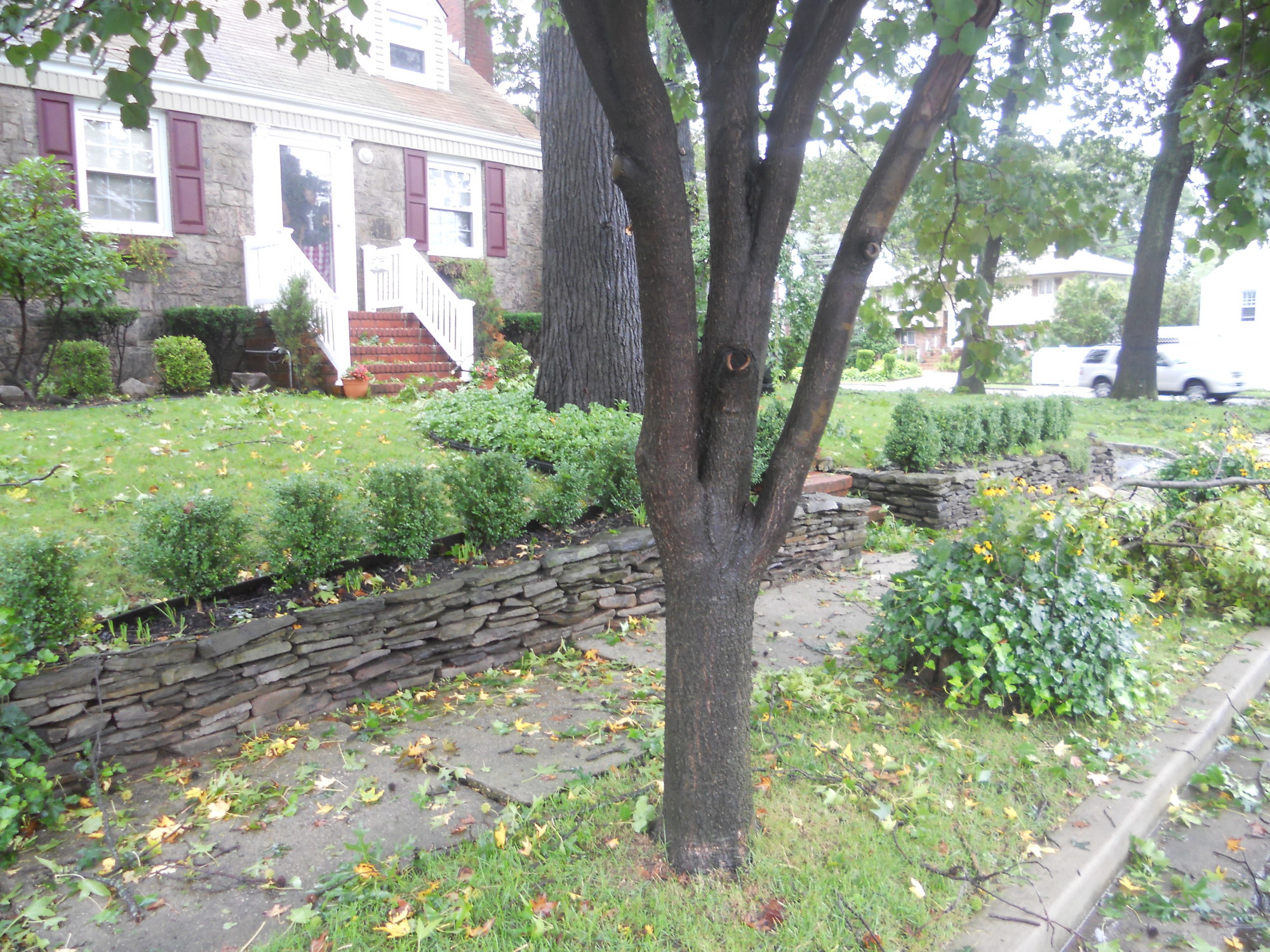
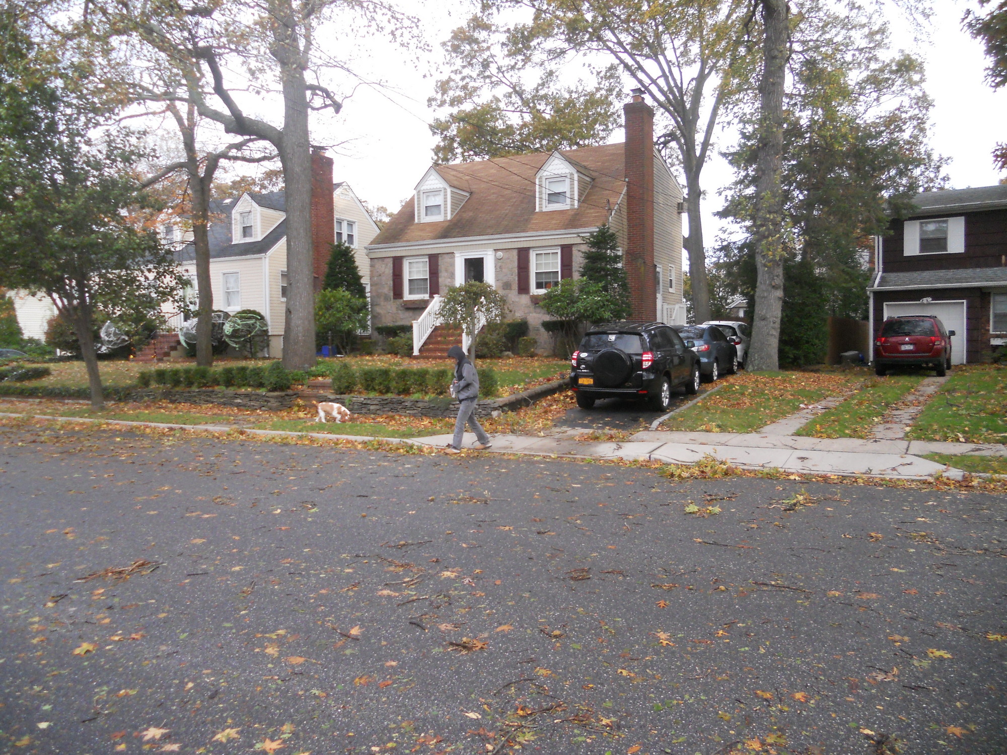
Alan Mazza, who lives on East Oxford Street near Cornwell Avenue in the Westwood section of the village, has been in the high-risk flood zone since he purchased his home in 1996. Yet living north of not only Sunrise Highway but Merrick Road as well, he wonders why. The only answer, he says, is an underground stream that passes about 100 feet west of his house and is usually dry where it emerges five blocks north.
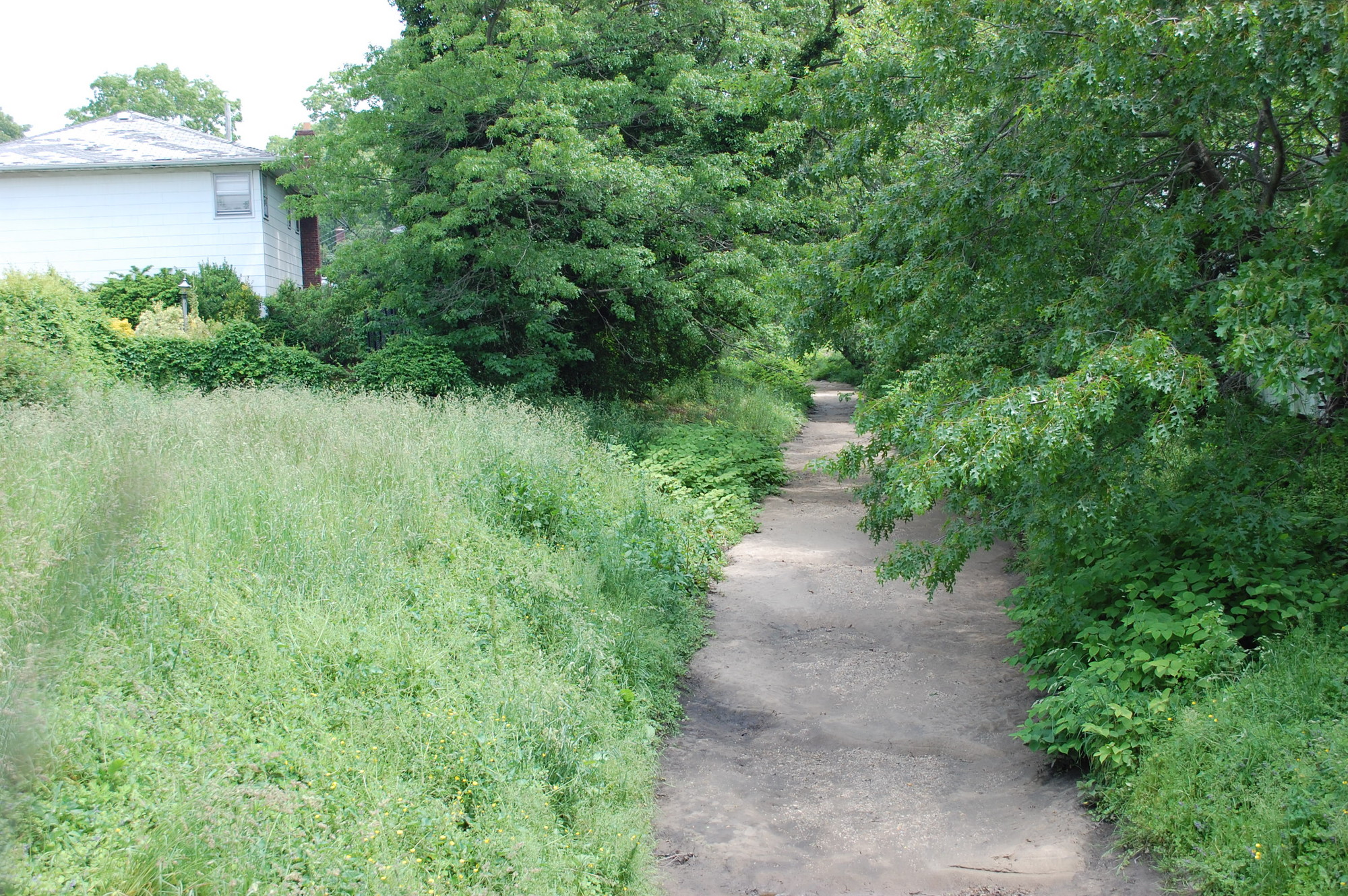
The stream bed starts near Rath Park in Franklin Square and runs south. Because it is usually dry, it is a common route for students walking to North High School. The stream then straddles the Valley Stream-Malverne border for several blocks, before going underground at Argyle Street. It then re-emerges south of Sunrise Highway, cuts west through Gibson and eventually empties into Mott’s Creek in Woodmere.
During Hurricane Sandy, the southern part of the stream did overflow because of the storm surge, damaging homes along Hungry Harbor Road. However, more than a mile north in Mazza’s neighborhood, the stream was full but was nowhere close to spilling over, he said.
“This isn’t a special hazard flood zone,” he said. “We’ve never had any water issues.”
To be excluded from the flood zone, a home’s elevation must fall below the base flood elevation designated by FEMA. The base flood elevation for his home is 20.2 feet, “which is a little outrageous,” Mazza said. His property elevation ranges from 19.7 to 21.2 feet.
Meanwhile, the base flood elevation is the Gibson and Mill Brook neighborhoods, which are closer to the water, is typically between 8 and 12 feet. Mazza and his wife, Barbara, say they don’t understand why the requirement for their neighborhood is so high, especially near a stream that is usually dry. The stream usually only has water in it, Mazza said, immediately after a rainstorm but then it drains into Mott’s Creek.
Mazza says that FEMA has placed him in the flood zone because it erroneously has mapped the stream underneath his home. Nassau County maps, along with a pair of storm drains on his street, show it is two houses away.
Thomas McAleer, the village’s flood plain administrator, said he is working to correct the error and have Mazza removed from the zone. He is in search of “as-built” drawings for the culvert which carries the stream under Mazza’s street. Those maps, McAleer says, would reflect any changes made from the original construction plans.
“If necessary, if we can’t find the ‘as-built’ drawings, worse case scenario is we’ll have to walk to culvert,” he said, adding that the village would then put documentation together to send to FEMA. “Hopefully in a couple of weeks we should have some type of resolution.”
In 2000, Mazza filed a letter of map amendment with FEMA to try and get his home removed from the flood zone but was unsuccessful. He said he has officials from all levels, including FEMA, to visit his neighborhood and view first-hand why he believes the area is mislabeled as a flood zone.
Tom Intravaia lives near the same culvert two blocks north. He said once he paid off his mortgage, he dropped his flood insurance saving at least $2,000 per year. Even though he doesn’t have to pay, the person who buys his house next will. “When it comes time to sell my home, people are not going to buy my home because we’re in a flood zone,” he said. “I don’t know why we should be forced into this.”
Intravaia said the culvert runs along side his home on East St. Marks Place. While he has seen it fill up and spill over into the street after heavy rain, storm water has never come near his home, he explained.
He said he has written to officials at all levels of government to no avail and also attended several meetings about the flood maps. “I don’t know what to do about it,” he said.
Revisions coming to south side
In January, FEMA presented revised flood maps for Valley Stream, which would remove 1,549 homes from the high-risk zone. Mazza’s will not be one.
Mayor Ed Fare said that the village board has to decide whether or not to sign off on the maps, however he said that because the mandate comes from the federal government, the board’s decision will have little consequence. He also said that by approving the new maps, hundreds of homeowners will be removed from the zone and relieved of the burden of mandatory flood insurance.
Homeowners living within the high-risk flood zone holding a mortgage must buy flood insurance. Premiums can be more than $2,000 a year, though for the past three years FEMA has been offering the Preferred Risk Policy rate of about $400 a year residents added to the zone in 2009.
The Mazzas say when they first bought their home, the annual rate was about $1,000 a year and has since increased to about $1,600. “It’s money that’s not even useful,” Barbara Mazza said. “In order for us to be covered, the water would have to hit our first floor.”
Mayor Ed Fare said that before deciding whether or not to approve the new maps, the village board must first hold a public hearing, scheduled for July 15. He said the board will decide if approving the maps will help a greater number of people. “The needs of the many outweigh the needs of the few,” he said.
Fare said he in uncertain that someone like Mazza could get out of the flood zone because he has been in it for so long. However, he said if residents believe that they still be erroneously be in the zone, they should come out to the public hearing.


